.png?width=575&name=Service%20Areas%20Feature%20(1).png)
Oil and natural gas companies operate across hundreds of miles of remote areas in North American basins, making it difficult to efficiently detect and mitigate methane emissions. Gas Mapping LiDAR helps operators throughout the US and Canada effectively locate methane emissions with increased efficiency by providing a precise location and quantification of each emission. Rather than spending hours on foot or driving from site to site, Gas Mapping LiDAR is deployed via airplane, covers ground more efficiently than most other methane detection methods.
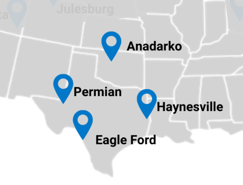
Where is Bridger Photonics flying with Gas Mapping LiDAR?
Methane Detection in the Permian, Eagle Ford & Haynesville
With the Permian being one of the largest and most productive on basins the continent, our flight crews are often flying across western Texas and southeastern New Mexico. We also fly the Eagle Ford and Haynesville basins frequently for our clients.
Just north of Texas, Bridger Photonics will also deploy flight teams to the Anadarko basin for scans.
LDAR for Methane Emissions in Colorado, Utah, and Wyoming
The Rocky Mountains are rich in shale basins, and Bridger Photonics regularly deploys Gas Mapping LiDAR across the Denver Julesburg in Colorado, Uinta Basin in Utah, and the Green River and Powder River basins in Wyoming.
%20(1).png?width=980&height=750&name=Service%20Areas%20(1)%20(1).png)
Methane Emission Detection in Canada
Gas Mapping LiDAR, included in several Alt-FEMP proposals by Canadian oil and gas operators, is deployed across Alberta, British Columbia, and Saskatchewan.
Further south and into parts of North Dakota, we are also deploying Gas Mapping LiDAR throughout the Bakken formation within the Williston Basin.
.png?width=795&height=608&name=3%20(2).png)
Aerial Methane Detection in Appalachia
Bridger Photonics serves clients throughout the Appalachian basin, deploying Gas Mapping LiDAR across the Utica and Marcellus to scan difficult-to-reach infrastructure often located in densely forested and rocky environments.
.png?width=795&height=608&name=4%20(1).png)
Serving Natural Gas Distributors throughout the US
Gas Mapping LiDAR serves the production sector of oil and gas in basins throughout the country, it also has the sensitivity required to efficiently detect methane emissions for distribution companies. These scans often take place in cities, with Gas Mapping LiDAR sensors tuned to be more sensitive for the needs of utilities, and flight plans are created to cover large service areas in a much shorter amount of time than it takes to walk.
Methane Detection in Midstream
Between the production sites and distribution areas comes the transmission lines. Bridger Photonics serves the midstream sector throughout the US, providing PHMSA compliance for transmission lines and the ability to scan compressor stations and infrastructure along right of ways.
Bridger Photonics serves production basins, transmission lines, and natural gas distribution service areas throughout the US and Canada, using Gas Mapping LiDAR to help companies detect, locate, and quantify their methane emissions.